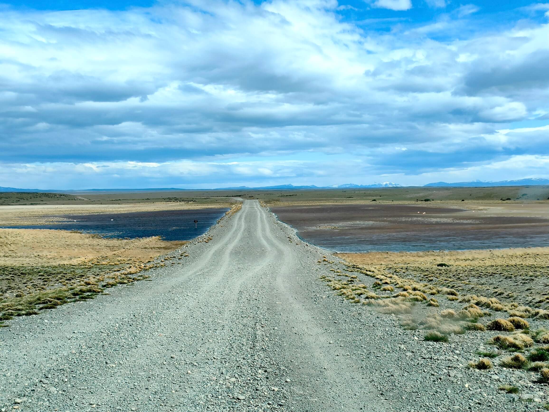
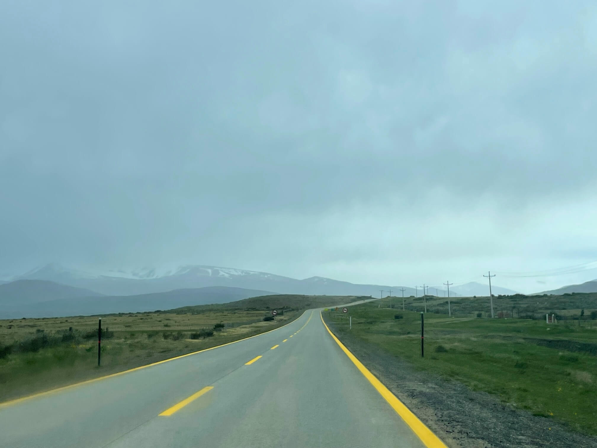
We’re driving very slowly on the gravel road. But we passed beautiful lakes with flamingos. The flamingos here are pinker than the ones we saw in the Atacama Desert in Chile.
El Calafate - Puerto Natales
Chile
October 24, we are heading further south.
Today we will cross the border again and briefly return to Chile.
Google Maps led us down the wrong road, we didn’t check, trusted it, and turned back...
We drove 60 kilometers on very bad gravel...
Average speed - 15 km per hour, no way to go faster.. Serzhyk was very tired from this.
We’re driving very slowly on the gravel road. But we passed beautiful lakes with flamingos. The flamingos here are pinker than the ones we saw in the Atacama Desert in Chile.
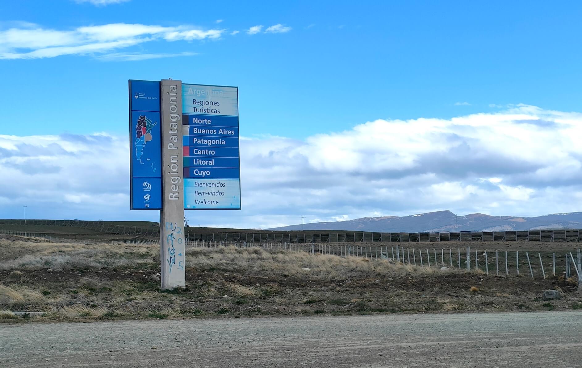
Sign at the border with Chile. "Patagonia Region".
The border crossing was very quick. Besides us, there were only a couple of cars.
At the border in Chile, they took all our vegetables and fruit (potatoes, onions, broccoli, apples) and eggs.
Bringing all of this in is prohibited.
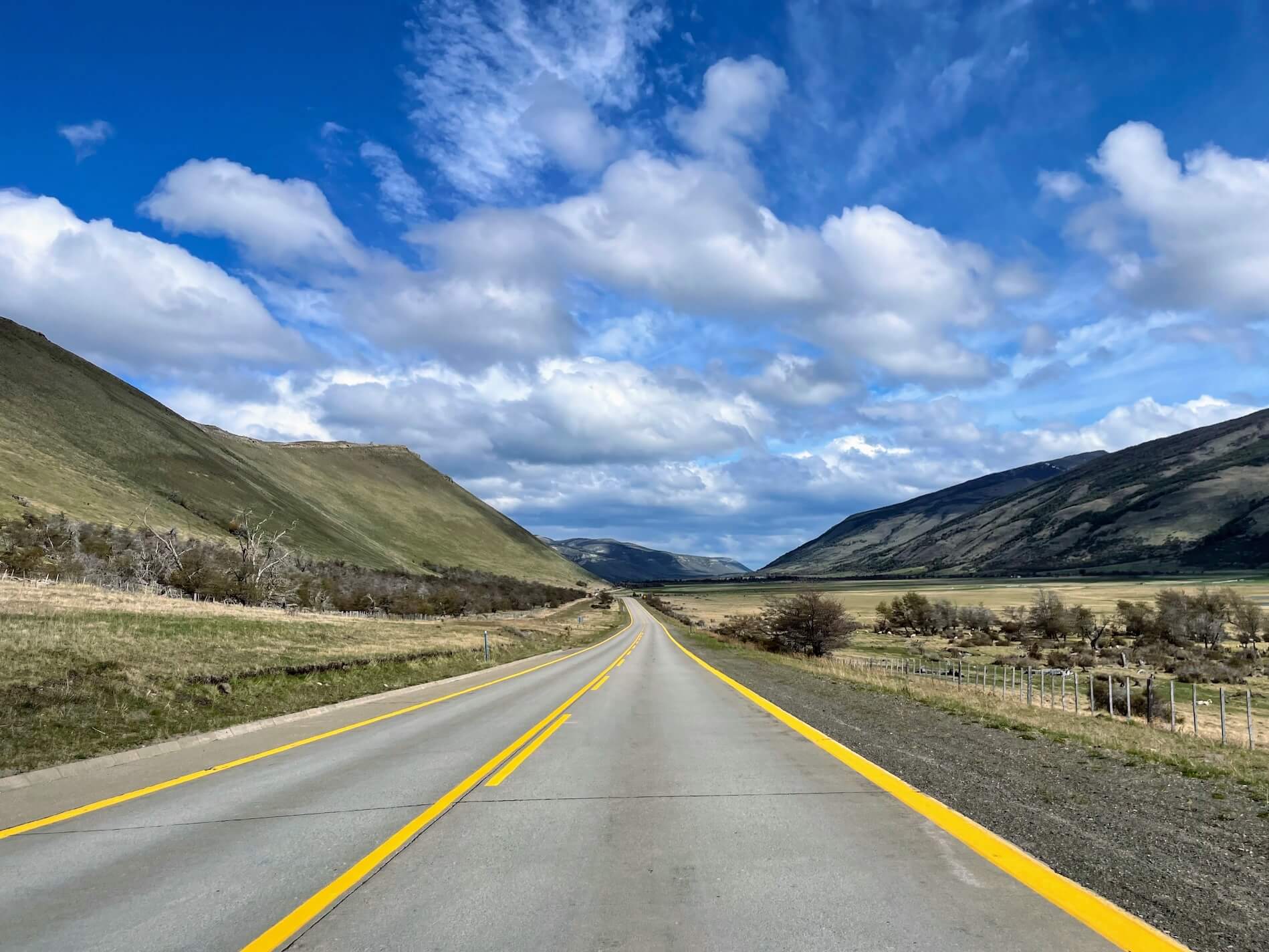
As soon as we entered Chile, the sun came out.
I was struck again by the difference: just a moment ago we were driving through Argentina, and all around was desert.
And in Chile — mountains, greenery, and cows grazing.
Entered Chile
Today and tomorrow we’re staying in a lovely little house (unfortunately, we forgot to take a photo of the exterior) on the outskirts of Puerto Natales.
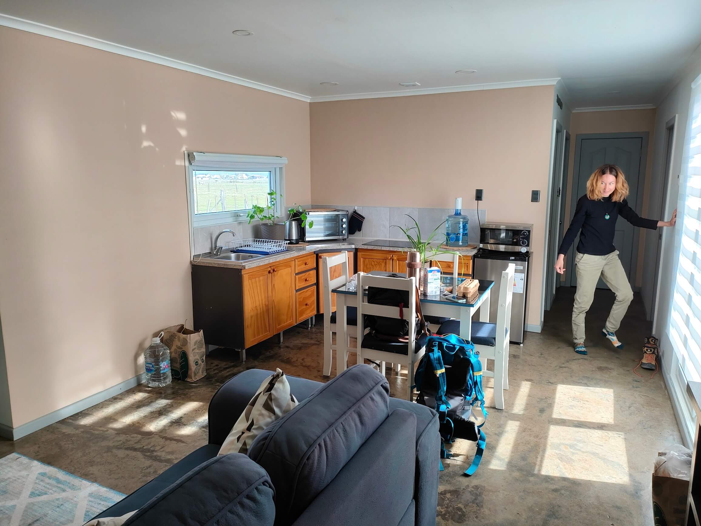
Living room and kitchen
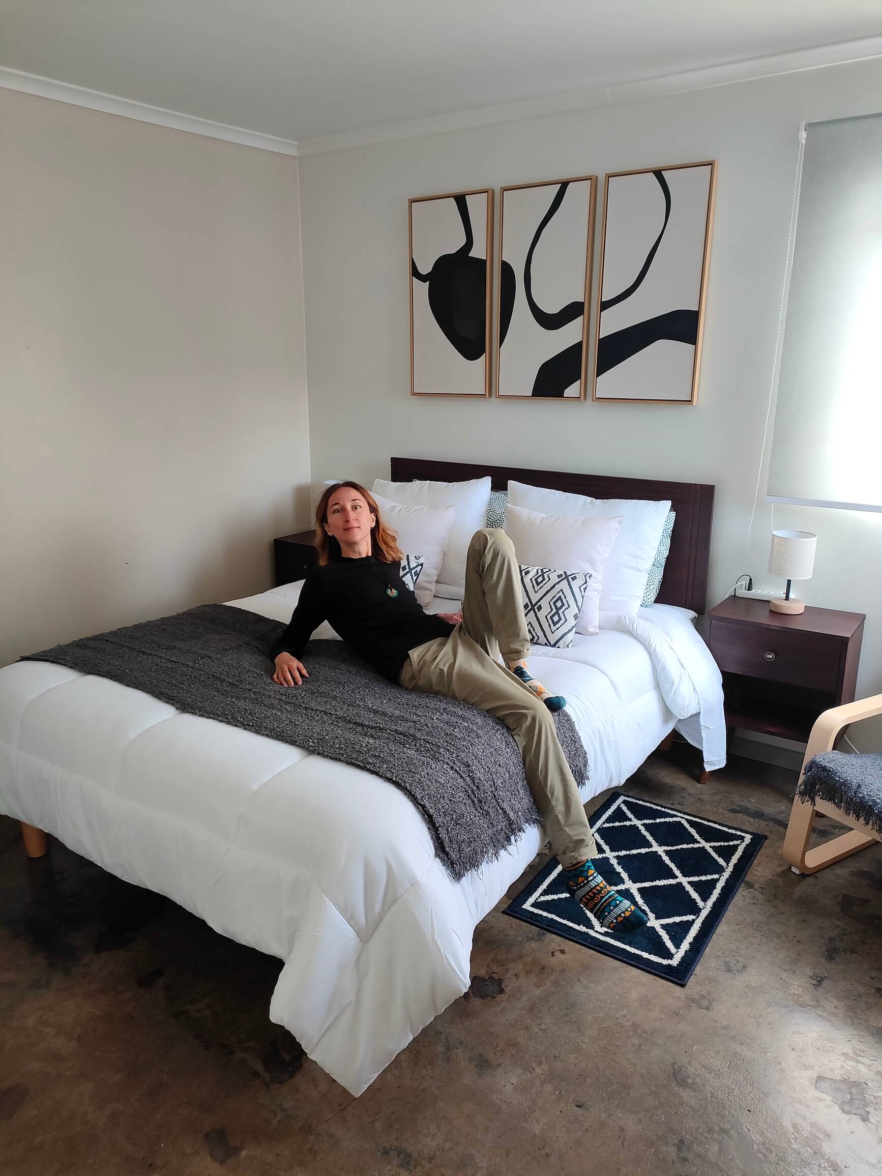
Bedroom
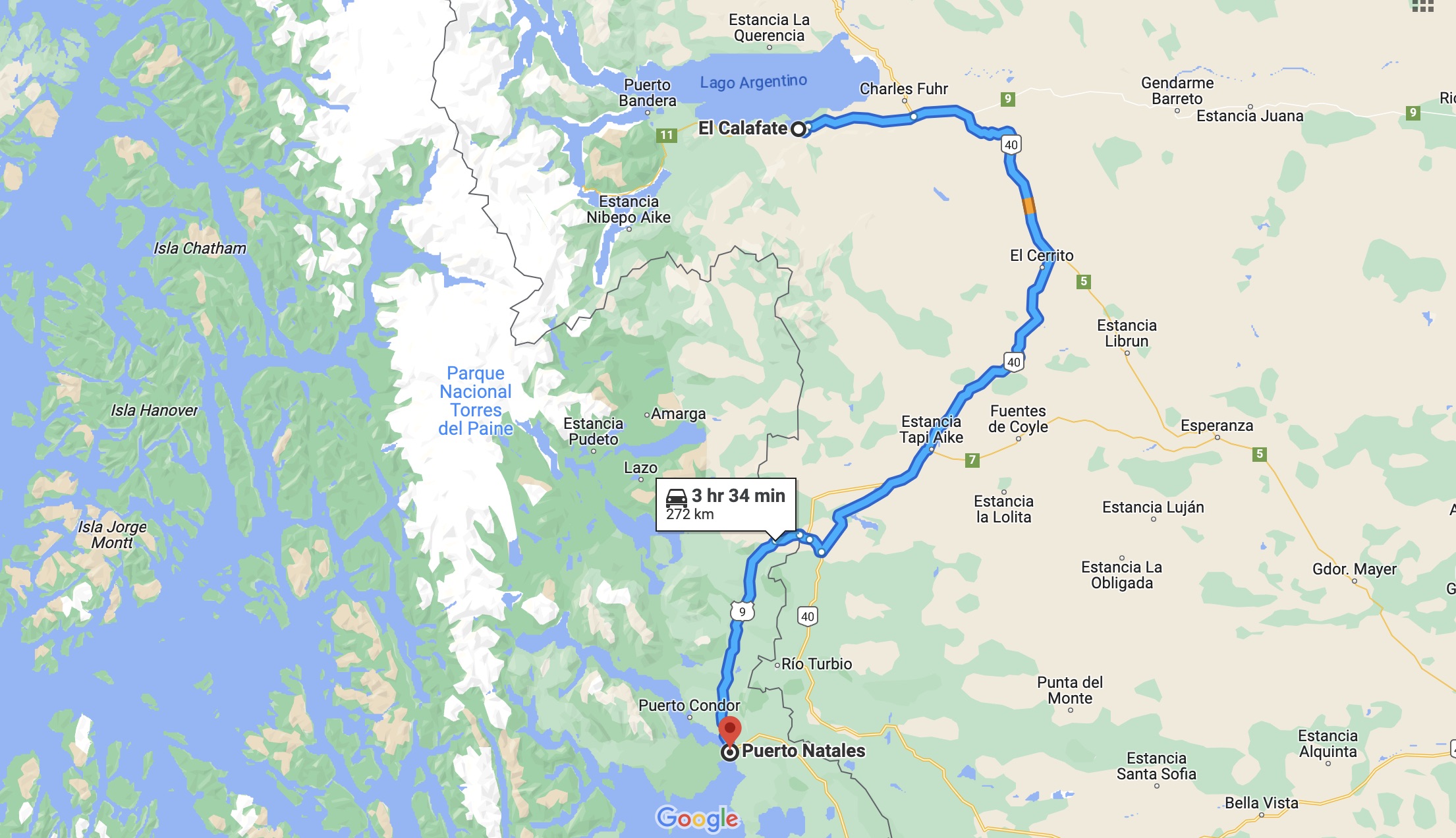
Our route for today: El Calafate → Puerto Natales. We traveled 272 km.
~
All night there was a very strong wind. Our little house was swaying, rustling, creaking.
It seemed to me that any moment now we would be blown away by the wind, just like in the fairy tale “The Wizard of the Emerald City” about Ellie.
In the morning, on October 25, the entire sky was tightly covered with heavy clouds.
At first, long ago, we wanted to go hiking to "Torres Del Paine".
Torres del Paine is Patagonia’s calling card, one of the most beautiful and popular places here.
The day hike is 22 km, with an elevation gain of about 1000 m (almost the same as what we covered on the hike to Fitz Roy).
I still hadn’t recovered at all from our hike to Fitz Roy (which was only 4 days earlier).
I was afraid my knees wouldn’t be able to handle another 22 km.
I told Serzhyk that I wouldn’t be able to go to Torres del Paine (even though it was one of the places we had come here to Patagonia for. That happens...)
I suggested he go alone. He didn’t want to.
We decided at least to drive through the national park, to get by car to the start of the trail and see the views.
So after breakfast, despite the weather, we set off for the national park...
Clouds, clouds... The mountains on the horizon are barely visible.
We drove 20 km to the turnoff, and then the rain started pouring.
We decided to postpone the trip to the park until tomorrow; in weather like that, there was simply no point in going there.
We returned to the city. We went into a café to find a hotel for the day after tomorrow (there is no internet in our house).
We bought very tasty warm buns at the supermarket.
We also decided to withdraw Chilean pesos from an ATM and used them to buy 300 dollars at a currency exchange office.
Soon we’ll be back in Argentina again.... And dollars are valuable there.